
Cargando...
What can I do?
Find
Display
NoroesteEstadosBaja California Baja California Sur Chihuahua Coahuila Durango Sinaloa Sonora
NoresteEstadosCoahuila Nuevo León Tamaulipas
OesteEstadosColima Jalisco Michoacán ...
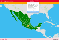
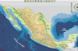
Do you know what is the name of each regions of Mexico shown on the map? Test yourself with this interactive map, you have to choose the right answer from a list of several options.
Zoom in or zoom out ...
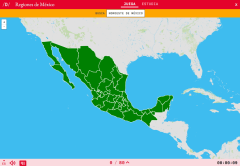
Would you know how to locate on the map the regions of Mexico which you have been asked for? You have to point out each exact location on the map.
Zoom in or zoom out the map in order to adjust it to t ...
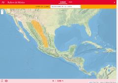
Do you know what is the name of each landform shown on the map? You have to choose the right answer from a list with several possible options.
Zoom in or zoom out the map in order to adjust it to the s ...
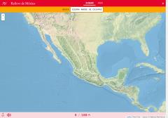
Would you know to locate on the map each landform you are being asked for? Try yourself with this interactive map of Didactalia.
Zoom in or zoom out the map in order to adjust it to the size of your de ...
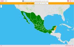
Do you know what is the name of each State of Mexico shown on the map? Test yourself with this interactive map, you have to choose the right answer from a list of several options.
Zoom in or zoom out t ...
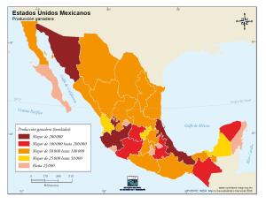
Interesante mapa de México en el que se muestra la producción ganadera en toneladas y por estados.Es un mapa de la sección Cuéntame del Instituto Nacional de Estadística y Geografía de México (INEGI)
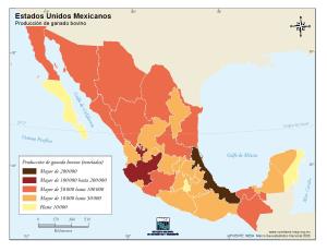
México es un país con una elevada producción de ganado bovino, con este mapa podrás averiguar qué estados son los más productivos en este aspecto.Es un mapa de la sección Cuéntame del Instituto Nacion ...
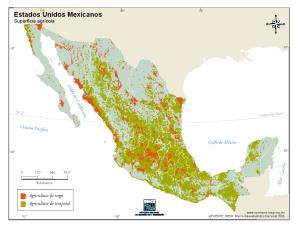
En este mapa se muestra la superficie agrícola mexicana diferenciándola en los siguientes tipos: agricultura de riego y agricultura de temporal.Es un mapa de la sección Cuéntame del Instituto Nacional ...
Hipervinculo Geografía
Explora el mapa de México con esta actividad interactiva, aprende sus estados y ciudades, investiga a cerca de su relieve, sus infraestructuras, sus vías de comunicación e inclu ...
Add to Didactalia Arrastra el botón a la barra de marcadores del navegador y comparte tus contenidos preferidos. Más info...


